NR er et forskningsinstitutt som utfører oppdragsforskning innen følgende anvendelser og fagområder:
 Det lakker og lir mot nytt valg, og NRs valggruppe er i gang med utregninger.Denne gangen er Aftenposten makker på publisering av resultatene. |
 NR har fått ny styreleder, Peter Wesenberg er en mann med erfaring både fra næringsliv og forskningssektor. |
Siste publikasjoner
Abie, Habtamu; Pirbhulal, Sandeep. Webinar on Adaptive AI for Pioneering Secure Healthcare Innovation. Seminar, ENFIELD Project; Online, 18.03.2025.
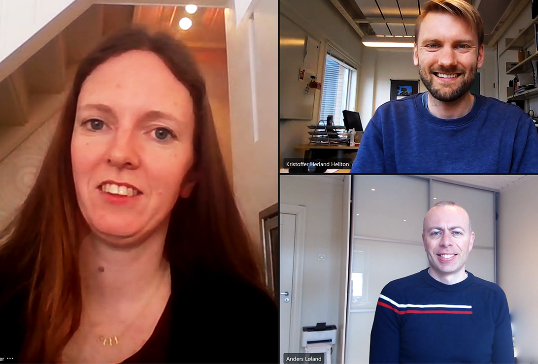
Pirbhulal, Sandeep; Abie, Habtamu; Jullum, Martin; Didrik, Nielsen; Løland, Anders. AI/ML for 5G and Beyond Cybersecurity. arXiv.org (ISSN 2331-8422). doi: https://doi.org/10.48550/arXiv.2505.18402. 2025.
Handegard, Nils Olav; Holmin, Arne Johannes; Pala, Ahmet; Utseth, Ingrid; Johnsen, Espen. Integrating and assessing machine learning acoustic target classification models for fish survey estimations. ICES Journal of Marine Science (ISSN 1054-3139). 82(5) doi: 10.1093/icesjms/fsaf069. 2025.
Engebretsen, Solveig; Aldrin, Magne Tommy; Iversen, Nina Skorstad; Staven, Andreas R.; Staven, Fredrik. Towards a better understanding of the evacuation time of salmon lice (Lepeophtheirus salmonis) in lumpfish (Cyclopterus lumpus). Aquaculture Reports (ISSN 2352-5134). 42 doi: 10.1016/j.aqrep.2025.102787. 2025.
Pilán, Ildikó; Mark, Anderson; Anders, Løland; Gunnhildur, Steinbakk. Evaluating Insurance Chat Responses from Large Language Models. Norsk Regnesentral, . NR-notat SAMBA/11/25. pp 30. 2025.
Fossøy, Aud Berit; Halbach, Till; Ytrehus, Siri. Framleis medborgar? Erfaringar frå personar som lever med demens i tidleg fase i utkantstrøk. Nordisk tidsskrift for helseforskning (ISSN 1504-3614). 21(1) pp 1-22. 2025.
Siste 100 publikasjoner
 Hvordan komme til NR
 Del på sosiale media
 Personvernerklæring