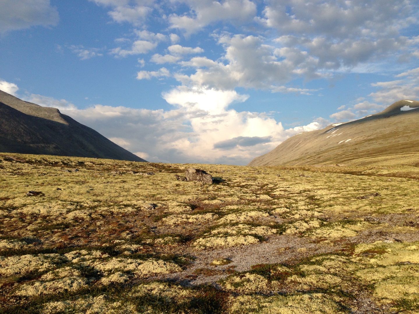
NR investigates new techniques for mapping and monitoring environmental gradients.
NR investigates new techniques for mapping and monitoring environmental gradients.
 The Norwegian Computing Center develops new remote sensing methods for mapping vegetation. We assess the potential of satellites for detection of changes in the environment caused by climate or human intervention.
We collaborate with researchers from the Norwegian Institute for Nature Research in this interdisciplinary project, which concentrate on mountain and coastal vegetation. The project is funded by the European Space Agency.
Red more about the project.


 How to get to NR
 Share on social media
 Privacy policy